
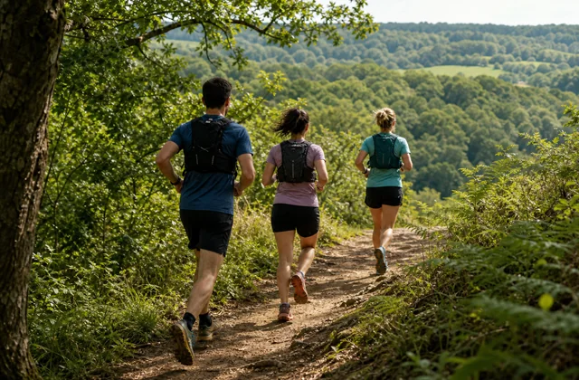
Trail running · Foulevo
Take to the trails.
With company.
Earth beneath your feet, a little elevation and the pleasure of exploring the route together.
A closer look at the terrain
Distance. Elevation.
And everything in between.
Explore the profile to locate climbs and descents. Then see what difference the terrain makes to your outing.
The route takes shape.
- Distance
- 5.2 km
- Elevation gain
- 64 m
Route elevation profile
118 m · 168 mMove the marker along the profile: it follows the route on the map. Demonstration geometry and elevations.
It can make sense to walk a climb. Read the organiser’s notes to understand how the group plans to tackle the uphill sections.
Races and trails in the app
Your next race bib.
Your next crew.
Explore the map, compare routes and find people to share the event with. Try the filters on these examples.
Find the outings on the map.
Examples to explore the app’s features. No actual registration or participation.
Explore organised eventsFind a route elsewhere. Share the outing here.
AllTrails, komoot or another platform: add the link to your session. It opens the route on its platform without importing its track into Foulevo.
Do I need to know the route already?
Not necessarily. Check the description, planned distance and elevation gain, and terrain details. Once your participation is confirmed, prepare the start details with the group. Going together doesn’t replace your own preparation.